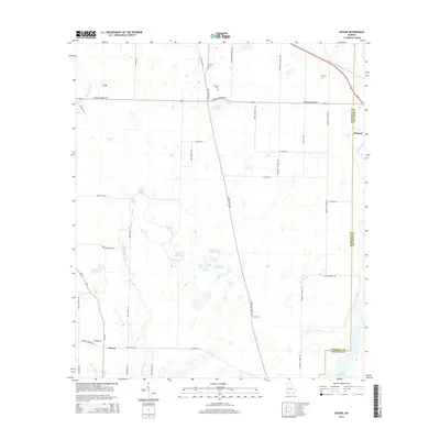
2014 Map of Desser
USGS Topo · Published 2014About this map
The low-lying wetlands of the Florida-Georgia border define this area where the Seminole and Decatur County lines meet. The landscape is characterized by a high density of named ponds and springs, including Goose Lake, Shores Lake, and Spooner Springs, which feed into the northern reaches of Lake Seminole. Local family history is centered around several smaller settlements and family-named cemeteries such as Williams Cem, Trawick Cem, and Chason Cem. The road network, featuring Three Notch Rd and the Bartow Gibson Hwy, connects the older communities of Lela, Desser, and Brinson. This map records a hydrological transition where individual water bodies like Cypress Lake and Buttonwood Pond exist alongside drainage features like Fishpond Drain, reflecting the intricate water table of the southwest Georgia coastal plain in the early 21st century.
Find a feature on this map
53 named features on this map. Tap any name to fly to it.
Don’t see what you’re looking for? This feature index may not catch every label — zoom into the map to look around manually.
Map Details
Editions of this 2014 Desser Map
This is the sole edition of this map. No revisions or reprints were ever made.
Other maps of this area

1953 · Dothan
USGS Topo · 1:250,000

1954 · Dothan
USGS Topo · 1:250,000

1954 · Steam Mill
USGS Topo · 1:24,000

1954 · Desser
USGS Topo · 1:24,000

1954 · Tallahassee
USGS Topo · 1:250,000

1955 · Dothan
USGS Topo · 1:250,000

1955 · Fairchild
USGS Topo · 1:24,000

1955 · Reynoldsville
USGS Topo · 1:24,000

1955 · Bainbridge
USGS Topo · 1:62,500

1959 · Tallahassee
USGS Topo · 1:250,000