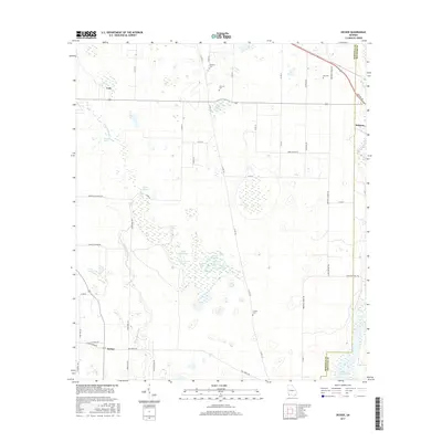
2017 Map of Desser
USGS Topo · Published 2017About this map
Lake Seminole dominates the southeastern corner of this Georgia landscape, where the waters of Spring Creek flow toward the Florida border. The terrain is defined by an intricate network of wetlands and named basins, including Goose Lake, Cypress Lake, and Wash Pond, alongside unique features like Spooner Springs and the Sykes Water Gap. These water features create a distinctive local geography that has historically shaped the placement of rural settlements and transport routes across the Seminole and Decatur county line.
Find a feature on this map
54 named features on this map. Tap any name to fly to it.
Don’t see what you’re looking for? This feature index may not catch every label — zoom into the map to look around manually.
Map Details
Editions of this 2017 Desser Map
This is the sole edition of this map. No revisions or reprints were ever made.
Other maps of this area

1953 · Dothan
USGS Topo · 1:250,000

1954 · Dothan
USGS Topo · 1:250,000

1954 · Steam Mill
USGS Topo · 1:24,000

1954 · Desser
USGS Topo · 1:24,000

1954 · Tallahassee
USGS Topo · 1:250,000

1955 · Dothan
USGS Topo · 1:250,000

1955 · Fairchild
USGS Topo · 1:24,000

1955 · Reynoldsville
USGS Topo · 1:24,000

1955 · Bainbridge
USGS Topo · 1:62,500

1959 · Tallahassee
USGS Topo · 1:250,000