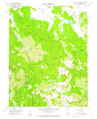
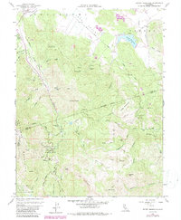
1958 Map of Detert Reservoir
USGS Topo · Published 1961About this map
Robert Louis Stevenson Memorial State Park anchors the southern portion of this 1958 survey, where the Mayacamas Mountains define a landscape of steep canyons and high peaks. The region's industrial legacy is clearly visible through a dense network of cinnabar and silver mining operations, including the Silverado Mine, Mirabel Mine, and the extensive Oat Hill Mine complex. These sites are linked by rugged routes like Livermore Road and the Old Grade, tracing the historical movement of ore and supplies through the mountains.
Find a feature on this map
62 named features on this map. Tap any name to fly to it.
Don’t see what you’re looking for? This feature index may not catch every label — zoom into the map to look around manually.
Map Details
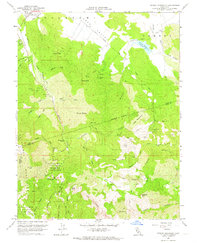
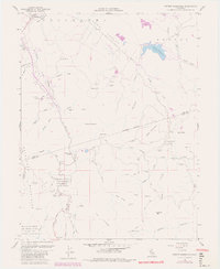
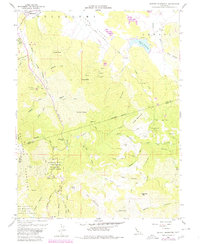
Editions of this 1958 Detert Reservoir Map
5 editions found
Other maps of this area

1927 · Calistoga
USGS Topo · 1:62,500

1942 · St. Helena
USGS Topo · 1:62,500

1943 · Morgan Valley
USGS Topo · 1:62,500

1943 · Calistoga
USGS Topo · 1:62,500

1944 · Morgan Valley
USGS Topo · 1:62,500

1945 · Calistoga
USGS Topo · 1:62,500

1945 · St. Helena
USGS Topo · 1:62,500

1945 · Lower Lake
USGS Topo · 1:62,500

1947 · Santa Rosa
USGS Topo · 1:250,000

1949 · Santa Rosa
USGS Topo · 1:250,000