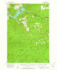
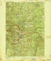
1956 Map of Detroit
USGS Topo · Published 1963About this map
The Detroit Reservoir dominates the northern landscape of this mid-1950s survey, following the completion of the Detroit Dam. This massive engineering project altered the local topography, creating a new shoreline and recreational area now known as Detroit Lake State Park. Along the North Santiam River, the settlements of Detroit and Idanha serve as anchors for a region defined by its timber and water resources. Higher elevations are dotted with vital fire detection infrastructure, including the Stahlman, Bachelor Mtn, and Coffin Mtn lookouts. The map captures the industrial and natural geography of the Marion and Linn County border, where ridges like Boulder Ridge and Whitman Ridge hem in a network of drainages including Blowout Creek and French Creek.
Find a feature on this map
96 named features on this map. Tap any name to fly to it.
Don’t see what you’re looking for? This feature index may not catch every label — zoom into the map to look around manually.
Map Details
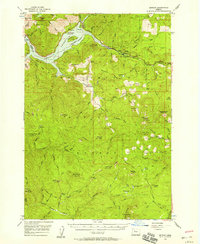
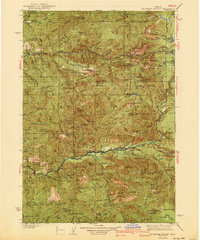
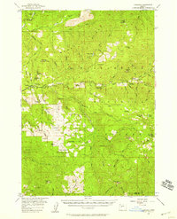
Editions of this 1956 Detroit Map
2 editions found
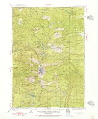
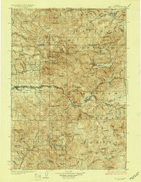
Other maps of this area
1927 · Mt. Jefferson
USGS Topo · 1:125,000
1929 · Mill City
USGS Topo · 1:125,000

1929 · Three Sisters
USGS Topo · 1:125,000
1930 · Mt. Jefferson
USGS Topo · 1:125,000

1932 · Three Sisters
USGS Topo · 1:125,000

1934 · Mc Kenzie Bridge
USGS Topo · 1:96,000
1940 · Mc Kenzie Bridge
USGS Topo · 1:125,000

1953 · Salem
USGS Topo · 1:250,000

1954 · Salem
USGS Topo · 1:250,000
1955 · Cascadia
USGS Topo · 1:62,500