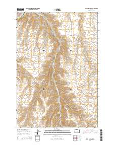
2014 Map of Devils Backbone
USGS Topo · Published 2014About this map
The Devils Backbone ridge dominates this high-plateau landscape where Sherman Co and Gilliam Co meet along the winding path of the John Day River. This modern digital survey reveals a terrain defined by deep incisions like Sixmile Canyon and Scott Canyon, which drain into the river system. For local historians and genealogists, the placement of Potters Cem on the high ground near the intersection of several section lines provides a specific point of interest for tracing early families in this sparsely settled region. Small water sources such as Sevenmile Spring and Hay Cr are also identified, highlighting the critical nature of water management in this arid environment near Spring Hollow.
Find a feature on this map
12 named features on this map. Tap any name to fly to it.
Don’t see what you’re looking for? This feature index may not catch every label — zoom into the map to look around manually.
Map Details
Editions of this 2014 Devils Backbone Map
This is the sole edition of this map. No revisions or reprints were ever made.
Other maps of this area

1916 · Arlington
USGS Topo · 1:125,000

1916 · Condon
USGS Topo · 1:125,000

1953 · The Dalles
USGS Topo · 1:250,000

1956 · The Dalles
USGS Topo · 1:250,000

1957 · The Dalles
USGS Topo · 1:250,000

1964 · Turner Butte
USGS Topo · 1:24,000

1964 · Shutler Flat
USGS Topo · 1:24,000

1964 · Mc Donald
USGS Topo · 1:24,000

1970 · Devils Backbone
USGS Topo · 1:24,000

1970 · Igo Butte
USGS Topo · 1:24,000