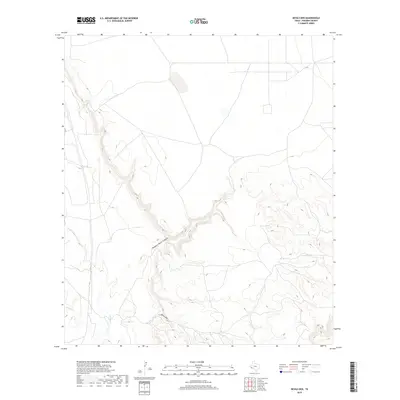
2019 Map of Devils Den
USGS Topo · Published 2019About this map
Robbers Roost Canyon and Devils Den define the complex topography of this Presidio County landscape, where deep incisions into the high desert plateau reveal the structural character of the West Texas terrain. These dramatic natural landmarks are part of a broader drainage system that includes Alamito Cr and Perdiz Cr, which carve through the arid environment. The map illustrates a largely open landscape marked by ranch roads and fences, reflecting the long-standing pastoral use of this region. For the local historian or geologist, this survey provides a precise account of the watercourses and named canyons that have historically dictated travel and land use across these expansive southwestern stretches.
Find a feature on this map
4 named features on this map. Tap any name to fly to it.
Don’t see what you’re looking for? This feature index may not catch every label — zoom into the map to look around manually.
Map Details
Editions of this 2019 Devils Den Map
This is the sole edition of this map. No revisions or reprints were ever made.
Other maps of this area

1895 · Marfa
USGS Topo · 1:125,000

1895 · Alpine
USGS Topo · 1:125,000

1896 · Shafter
USGS Topo · 1:125,000

1918 · Jordan Gap
USGS Topo · 1:62,500

1930 · Jordan Gap
USGS Topo · 1:62,500

1954 · Fort Stockton
USGS Topo · 1:250,000

1958 · Fort Stockton
USGS Topo · 1:250,000

1959 · Emory Peak
USGS Topo · 1:250,000

1959 · Presidio
USGS Topo · 1:250,000

1959 · Marfa
USGS Topo · 1:250,000