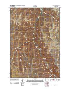
2011 Map of Devils Gap
USGS Topo · Published 2011About this map
Rock Creek and its many tributaries carve a complex drainage system through this portion of Gilliam County, defining a landscape of deep draws and high plateaus. The central passage of Devils Gap serves as a focal point for the surrounding terrain, which is marked by numerous named geographic features such as Cayuse Canyon, Horse Hollow, and Tivate Canyon. Human presence is sparse but historically significant, represented by landmarks like the Brown Cemetery and Arbogast Ranch.
Find a feature on this map
21 named features on this map. Tap any name to fly to it.
Don’t see what you’re looking for? This feature index may not catch every label — zoom into the map to look around manually.
Map Details
Editions of this 2011 Devils Gap Map
This is the sole edition of this map. No revisions or reprints were ever made.
Other maps of this area

1916 · Condon
USGS Topo · 1:125,000

1953 · Pendleton
USGS Topo · 1:250,000

1953 · The Dalles
USGS Topo · 1:250,000

1956 · The Dalles
USGS Topo · 1:250,000

1956 · Pendleton
USGS Topo · 1:250,000

1957 · The Dalles
USGS Topo · 1:250,000

1968 · Gooseberry
USGS Topo · 1:24,000
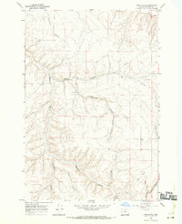
1968 · Utts Butte
USGS Topo · 1:24,000
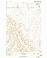
1970 · Wolf Hollow Falls
USGS Topo · 1:24,000

1970 · Condon
USGS Topo · 1:24,000