
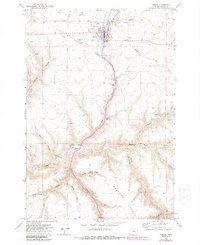
1970 Map of Condon
USGS Topo · Published 1973About this map
Condon serves as the focal point of this high-plateau landscape, appearing in the early 1970s with its concentrated urban grid surrounded by agricultural and transport infrastructure. The town's community heritage is visible through the trio of Masonic Cem, IOOF Cem, and St Joseph Cem located on the northern outskirts near the Golf Course. Heavy industry and logistics define the settlement's northern edge, where Grain Elevators stand alongside the Union Pacific tracks, while the Condon Airfield and an Airway Beacon occupy the level ground to the east.
Find a feature on this map
41 named features on this map. Tap any name to fly to it.
Don’t see what you’re looking for? This feature index may not catch every label — zoom into the map to look around manually.
Map Details
Editions of this 1970 Condon Map
2 editions found
Other maps of this area

1916 · Condon
USGS Topo · 1:125,000

1953 · The Dalles
USGS Topo · 1:250,000

1956 · The Dalles
USGS Topo · 1:250,000

1957 · The Dalles
USGS Topo · 1:250,000

1970 · Igo Butte
USGS Topo · 1:24,000
1970 · Schott Canyon
USGS Topo · 1:24,000
1970 · Salmon Fork
USGS Topo · 1:24,000
1970 · Buckhorn Canyon
USGS Topo · 1:24,000
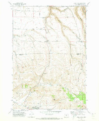
1970 · Fossil North
USGS Topo · 1:24,000
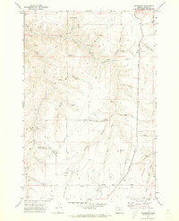
1970 · Gwendolen
USGS Topo · 1:24,000