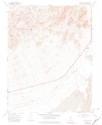
1968 Map of Devils Gate
USGS Topo · Published 1983About this map
The Monte Cristo Range dominates this West Central Nevada landscape, where high peaks descend into the expansive Big Smoky Valley. Mining activity is evident on the eastern slopes of the range, specifically around Castle Peak where the Castle Peak Mine and several other unnamed Mines are documented. This area was a critical point of transit for the regional mining economy, as evidenced by the prominent Old Railroad Grade that cuts across the alluvial fans between the mountains and the desert floor. In the southeastern portion of the map, the terrain shifts dramatically from the rocky debris of the mountain skirts to the shifting Sand Dunes at the valley's edge. Rare water sources like Desert Well 4750 and Well 4728 are clearly marked, showing the vital infrastructure required for early settlement at McLeans.
Find a feature on this map
27 named features on this map. Tap any name to fly to it.
Don’t see what you’re looking for? This feature index may not catch every label — zoom into the map to look around manually.
Map Details
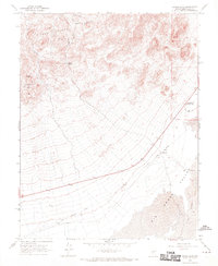
Editions of this 1968 Devils Gate Map
2 editions found
Other maps of this area

1898 · Silver Peak
USGS Topo · 1:125,000

1900 · Silver Peak
USGS Topo · 1:125,000

1907 · Tonopah
USGS Topo · 1:250,000

1908 · Lida
USGS Topo · 1:250,000

1908 · Tonopah
USGS Topo · 1:250,000

1913 · Lida
USGS Topo · 1:250,000

1954 · Goldfield
USGS Topo · 1:250,000

1955 · Goldfield
USGS Topo · 1:250,000

1956 · Tonopah
USGS Topo · 1:250,000

1958 · Goldfield
USGS Topo · 1:250,000