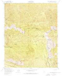
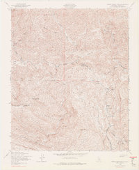
1943 Map of Devils Heart Peak
USGS Topo · Published 1976About this map
Sespe Hot Springs and the drainage of Sespe Creek dominate this 1943 survey of the northern Topatopa Mountains. This map, published by the Geological Survey and mapped by the Army Map Service, documents a remote wilderness landscape defined by series of high mountain flats and intermittent water sources. Named flats like Coltrell Flat, Pigeon Flat, and Squaw Flat represent pockets of relatively level terrain amidst the sharp elevation changes of the Los Padres National Forest. Cultural features are minimal, though a Lookout Tower is noted atop Topatopa Peak, overlooking the Sespe Wildlife Area. The network of springs, including Buckhorn Spring and Dripping Springs, highlights the essential water points for cattle or early travelers in these arid high-country canyons. The map serves as a detailed record of the Ventura County backcountry before modern recreational development, capturing a landscape largely untouched by significant infrastructure.
Find a feature on this map
30 named features on this map. Tap any name to fly to it.
Don’t see what you’re looking for? This feature index may not catch every label — zoom into the map to look around manually.
Map Details
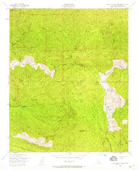
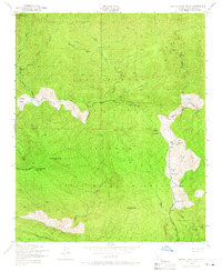
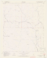
Editions of this 1943 Devils Heart Peak Map
5 editions found
Other maps of this area

1900 · Piru
USGS Topo · 1:62,500

1903 · Santa Paula
USGS Topo · 1:62,500

1903 · Mt. Pinos
USGS Topo · 1:125,000

1903 · Tejon
USGS Topo · 1:125,000

1903 · Camulos
USGS Topo · 1:125,000

1921 · Piru
USGS Topo · 1:62,500

1938 · Black Mountain
USGS Topo · 1:24,000

1941 · Piru
USGS Topo · 1:62,500

1942 · Santa Paula
USGS Topo · 1:62,500

1943 · Topatopa Mountains
USGS Topo · 1:24,000