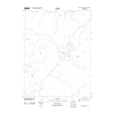
2010 Map of Devils Hole Gulch
USGS Topo · Published 2010About this map
The Wilson Creek Oil Field dominates the central landscape of this western Colorado map, reflecting the region's long-standing energy production history. Located in Rio Blanco County, the area is characterized by an extensive network of access roads, including County Rd 8 and County Rd 9, which service the industrial operations near the Wilson Creek Camp. This industrial footprint is integrated into a complex terrain of high peaks and drainage systems, such as Devils Hole Mountain and Old Baldy.
Find a feature on this map
26 named features on this map. Tap any name to fly to it.
Don’t see what you’re looking for? This feature index may not catch every label — zoom into the map to look around manually.
Map Details
Editions of this 2010 Devils Hole Gulch Map
This is the sole edition of this map. No revisions or reprints were ever made.
Other maps of this area

1907 · White River
USGS Topo · 1:125,000

1910 · Danforth Hills
USGS Topo · 1:125,000

1910 · White River
USGS Topo · 1:125,000

1912 · Meeker
USGS Topo · 1:62,500

1912 · Axial
USGS Topo · 1:62,500

1914 · Meeker
USGS Topo · 1:62,500

1914 · Axial
USGS Topo · 1:62,500

1954 · Vernal
USGS Topo · 1:250,000

1954 · Craig
USGS Topo · 1:250,000

1957 · Craig
USGS Topo · 1:250,000