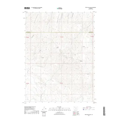
2019 Map of Devils Hole Gulch
USGS Topo · Published 2019About this map
Danforth Hills defines the high-altitude topography of this Northwest Colorado landscape, where the border between Rio Blanco and Moffat counties cuts through deep drainage systems. The namesake Devils Hole Gulch and Cabin Gulch dominate the southern half of the quadrangle, feeding into Strawberry Cr. This terrain is characterized by steep elevation changes marked by prominent summits like Old Baldy and Devils Hole Mtn. The map reveals a remote network of unpaved transit, including Co RD 9 and Co RD 51, which navigate between the ridges and gulches. To the north, the headwaters of East Fork Morgan Gulch and Chokecherry Gulch indicate a complex watershed system. Large open flats such as Tepee Park contrast with the verticality of Coal Butte, suggesting varied land use in this sparsely settled region.
Find a feature on this map
30 named features on this map. Tap any name to fly to it.
Don’t see what you’re looking for? This feature index may not catch every label — zoom into the map to look around manually.
Map Details
Editions of this 2019 Devils Hole Gulch Map
This is the sole edition of this map. No revisions or reprints were ever made.
Other maps of this area

1907 · White River
USGS Topo · 1:125,000

1910 · Danforth Hills
USGS Topo · 1:125,000

1910 · White River
USGS Topo · 1:125,000

1912 · Meeker
USGS Topo · 1:62,500

1912 · Axial
USGS Topo · 1:62,500

1914 · Meeker
USGS Topo · 1:62,500

1914 · Axial
USGS Topo · 1:62,500

1954 · Vernal
USGS Topo · 1:250,000

1954 · Craig
USGS Topo · 1:250,000

1957 · Craig
USGS Topo · 1:250,000