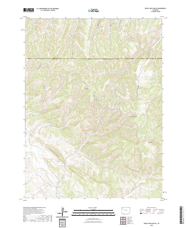
2022 Map of Devils Hole Gulch
USGS Topo · Published 2022About this map
The Danforth Hills and the prominent heights of Devils Hole Mtn anchor this terrain at the boundary of Moffat and Rio Blanco counties. The landscape is defined by an intricate drainage system feeding into major basins, characterized by numerous gulches like Chokecherry Gulch and East Fork Morgan Gulch. The presence of high-elevation markers such as Old Baldy and the open flats of Tepee Park indicate a topography used primarily for grazing and resource management rather than dense settlement.
Find a feature on this map
27 named features on this map. Tap any name to fly to it.
Don’t see what you’re looking for? This feature index may not catch every label — zoom into the map to look around manually.
Map Details
Editions of this 2022 Devils Hole Gulch Map
This is the sole edition of this map. No revisions or reprints were ever made.
Other maps of this area

1907 · White River
USGS Topo · 1:125,000

1910 · Danforth Hills
USGS Topo · 1:125,000

1910 · White River
USGS Topo · 1:125,000

1912 · Meeker
USGS Topo · 1:62,500

1912 · Axial
USGS Topo · 1:62,500

1914 · Meeker
USGS Topo · 1:62,500

1914 · Axial
USGS Topo · 1:62,500

1954 · Vernal
USGS Topo · 1:250,000

1954 · Craig
USGS Topo · 1:250,000

1957 · Craig
USGS Topo · 1:250,000