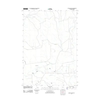
2012 Map of Devils Kitchen
USGS Topo · Published 2012About this map
Devils Kitchen defines the northern reaches of this Big Horn County landscape, a terrain of arid gullies and draws situated east of the Big Horn River. The southern portion of the sheet reveals a complex irrigation network essential to Wyoming agriculture, where the Porter Canal, Shell Canal, and Whaley Ditch pull water from Shell Cr to serve the surrounding basins.
Find a feature on this map
21 named features on this map. Tap any name to fly to it.
Don’t see what you’re looking for? This feature index may not catch every label — zoom into the map to look around manually.
Map Details
Editions of this 2012 Devils Kitchen Map
This is the sole edition of this map. No revisions or reprints were ever made.
Other maps of this area

1898 · Bald Mountain
USGS Topo · 1:125,000

1901 · Bald Mountain
USGS Topo · 1:125,000

1955 · Cody
USGS Topo · 1:250,000

1955 · Sheridan
USGS Topo · 1:250,000

1958 · Cody
USGS Topo · 1:250,000

1958 · Sheridan
USGS Topo · 1:250,000

1960 · Manderson NE
USGS Topo · 1:24,000

1960 · Devils Kitchen
USGS Topo · 1:24,000

1960 · Shell
USGS Topo · 1:24,000

1960 · Bear Creek Ranch
USGS Topo · 1:24,000