
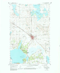
1950 Map of Devils Lake
USGS Topo · Published 1959About this map
Devils Lake serves as the focal point for this mid-century survey of Ramsey and Benson counties, where the lake's complex shoreline defines the regional character. The city of Devils Lake is a major transportation hub, situated at the junction of the Great Northern and the Minneapolis St Paul and Sault Ste Marie railroads. The map documents an area deeply invested in state and federal institutions, from the State Military Reservation at Camp Grafton to the State Sch for Deaf and Lincoln Sch in town.
Find a feature on this map
45 named features on this map. Tap any name to fly to it.
Don’t see what you’re looking for? This feature index may not catch every label — zoom into the map to look around manually.
Map Details
Editions of this 1950 Devils Lake Map
2 editions found
Other maps of this area

1928 · Tokio
USGS Topo · 1:62,500

1930 · Hamar
USGS Topo · 1:62,500

1931 · Oberon
USGS Topo · 1:62,500

1931 · Tokio
USGS Topo · 1:62,500

1931 · Devils Lake
USGS Topo · 1:62,500

1932 · Grahams Island
USGS Topo · 1:62,500

1950 · Tokio
USGS Topo · 1:24,000

1950 · Grahams Island
USGS Topo · 1:62,500

1950 · Oberon
USGS Topo · 1:62,500

1951 · Crow Hill
USGS Topo · 1:24,000