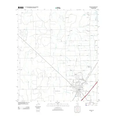
2013 Map of Devine
USGS Topo · Published 2013About this map
The town of Devine serves as the focal point of this South Texas landscape, where several prominent drainage systems converge in Medina County. The community's grid is bounded by the winding course of Burnt Boot Cr and San Francisco Perez Cr, while the northeastern corner is defined by the Chacon Reservoir and Jungman Lake. The spatial layout reveals a transition from the structured residential blocks of the town center to the expansive rural road network, including numerous county routes like Co RD-664 and Co RD-767 that connect outlying agricultural lands.
Find a feature on this map
118 named features on this map. Tap any name to fly to it.
Don’t see what you’re looking for? This feature index may not catch every label — zoom into the map to look around manually.
Map Details
Editions of this 2013 Devine Map
This is the sole edition of this map. No revisions or reprints were ever made.
Other maps of this area

1942 · Natalia
USGS Topo · 1:62,500

1954 · San Antonio
USGS Topo · 1:250,000

1956 · New Fountain
USGS Topo · 1:62,500

1957 · San Antonio
USGS Topo · 1:250,000

1958 · La Coste
USGS Topo · 1:24,000

1964 · Ghost Hill
USGS Topo · 1:24,000

1964 · Castroville
USGS Topo · 1:24,000

1964 · Devine
USGS Topo · 1:24,000
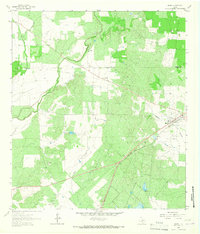
1964 · Moore
USGS Topo · 1:24,000
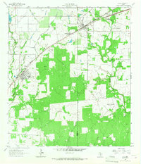
1964 · Lytle
USGS Topo · 1:24,000