2021 Map of Deweese
USGS Topo · Published 2021About this map
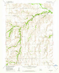
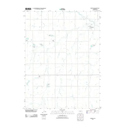
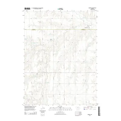
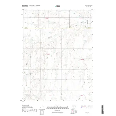
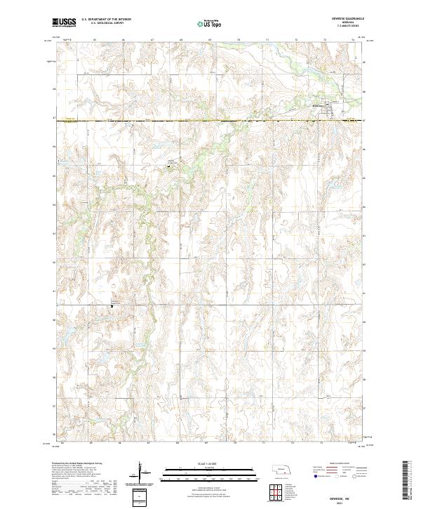
The village of Deweese sits along the southern bank of the Little Blue River in the northeastern corner of this modern Nebraska survey. This portion of the Central Plains is characterized by a dense network of watercourses and man-made impoundments, including family-named landmarks like Hubl Reservoir, Mazour Reservoir, and Pohlmeier Reservoir. The landscape is predominantly agricultural, shaped by a grid of rural roads and the Railroad corridor that bisects the northern section of the map. Local history is anchored by the presence of Liberty Creek Cem and Sacred Heart Cem, which serve the surrounding rural community. The drainage patterns are clearly defined by the winding paths of Liberty Cr, Dry Cr, and Walnut Cr as they cut through the terrain toward the river basin. This detailed record of the Nuckolls and Clay County line highlights the persistence of small rural settlements and their irrigation infrastructure in the early twenty-first century.
Find a feature on this map
48 named features on this map. Tap any name to fly to it.
Don’t see what you’re looking for? This feature index may not catch every label — zoom into the map to look around manually.
Map Details
Editions of this 2021 Deweese Map
This is the sole edition of this map. No revisions or reprints were ever made.
Historical Maps of Deweese Through Time
5 maps found