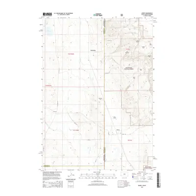
2015 Map of Dewey
USGS Topo · Published 2015About this map
Black Hills National Forest dominates the eastern half of this terrain where the border of Wyoming and South Dakota meets. The transition from the high, wooded slopes of the Elk Mountains down into the drainage of Beaver Cr defines the local geography. Small settlements like Dewey and Dakoming are connected by a network of rural routes, including Old Highway 85 and Dewey Rd, which trace the path of earlier transit corridors through the valley floors.
Find a feature on this map
31 named features on this map. Tap any name to fly to it.
Don’t see what you’re looking for? This feature index may not catch every label — zoom into the map to look around manually.
Map Details
Editions of this 2015 Dewey Map
This is the sole edition of this map. No revisions or reprints were ever made.
Other maps of this area

1896 · Harney Peak
USGS Topo · 1:125,000

1899 · Newcastle
USGS Topo · 1:125,000

1901 · Harney Peak
USGS Topo · 1:125,000

1901 · Newcastle
USGS Topo · 1:125,000

1902 · Edgemont
USGS Topo · 1:125,000

1950 · Burdock
USGS Topo · 1:24,000

1951 · Owens
USGS Topo · 1:24,000

1951 · Dewey
USGS Topo · 1:24,000

1951 · Dewey SW
USGS Topo · 1:24,000

1951 · Twentyone Divide
USGS Topo · 1:24,000