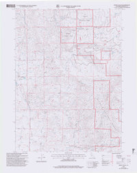
2001 Map of Dewey Gulch
USGS Topo · Published 2004About this map
Klamath National Forest territory dominates this high-altitude landscape in northern California, where early 21st-century topography reveals a complex network of canyons and water management. The map details the headwaters of the Shasta River and the Little Shasta, which are fed by numerous high-country sources like Black Rock Spring and Cold Spring. A legacy of early ranching and water rights is visible in the presence of the Kuck Ditch and naming conventions of the high meadows, such as Old Lady Glade, Long Glade, and Chandler Glade.
Find a feature on this map
69 named features on this map. Tap any name to fly to it.
Don’t see what you’re looking for? This feature index may not catch every label — zoom into the map to look around manually.
Map Details
Editions of this 2001 Dewey Gulch Map
2 editions found
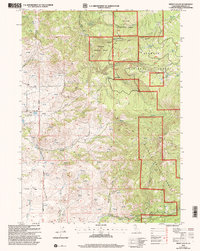
Other maps of this area

1886 · Shasta
USGS Topo · 1:250,000

1894 · Shasta
USGS Topo · 1:250,000

1922 · Shasta Valley Sheet No 12
USGS Topo · 1:24,000

1922 · Shasta Valley Sheet No 13
USGS Topo · 1:24,000

1934 · Macdoel
USGS Topo · 1:96,000

1941 · Macdoel
USGS Topo · 1:125,000

1948 · Weed
USGS Topo · 1:250,000

1950 · Weed
USGS Topo · 1:250,000

1954 · The Whaleback
USGS Topo · 1:62,500

1954 · Macdoel
USGS Topo · 1:62,500