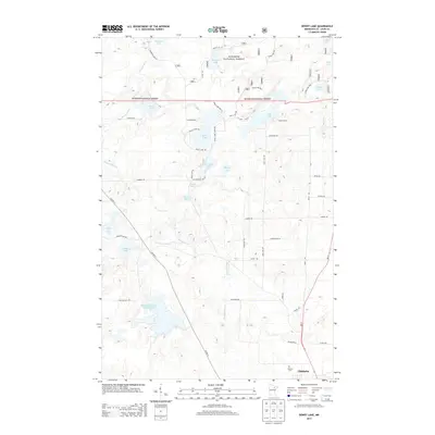
2013 Map of Dewey Lake
USGS Topo · Published 2013About this map
The Hibbing Taconite Tailings Basin dominates the southwestern quadrant of this landscape, illustrating the industrial footprint of the Iron Range on the surrounding natural environment. This massive feature contrasts with the dense network of glacial lakes and wetlands to the north, including Dewey Lake, Island Lake, and Balkan Lake. The area is characterized by the Superior National Forest, where a intricate web of forest service and county roads like Shannon Lake Rd and Page Rd provide access to remote lakeside settlements such as Camp Austin. Near the southern boundary, the map captures the transition to more developed areas as it reaches the northern edge of Chisholm and the Calvary Cem. This survey provides a precise look at the 21st-century balance between Minnesota's deep-rooted mining industry and the preservation of its timber and water resources along the Shannon River.
Find a feature on this map
48 named features on this map. Tap any name to fly to it.
Don’t see what you’re looking for? This feature index may not catch every label — zoom into the map to look around manually.
Map Details
Editions of this 2013 Dewey Lake Map
This is the sole edition of this map. No revisions or reprints were ever made.
Other maps of this area

1951 · Hibbing
USGS Topo · 1:24,000

1951 · Buhl
USGS Topo · 1:24,000

1952 · Keewatin
USGS Topo · 1:24,000

1954 · Hibbing
USGS Topo · 1:250,000

1955 · Dark Lake
USGS Topo · 1:24,000

1955 · Dewey Lake SE
USGS Topo · 1:24,000

1955 · Dewey Lake NW
USGS Topo · 1:24,000

1955 · Dewey Lake
USGS Topo · 1:24,000

1957 · Hibbing
USGS Topo · 1:250,000

1957 · Hibbing
USGS Topo · 1:24,000