
1957 Map of Hibbing
USGS Topo · Published 1958About this map
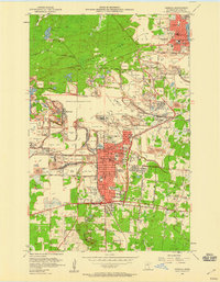
Iron mining operations dominate the Mesabi Range landscape between Hibbing and Chisholm, where the massive Mahoning-Hull-Rust Mine complex carves deep into the earth. This mid-century survey reveals a highly industrialized environment defined by sprawling mine dumps, tailings ponds, and deep pits like the Scranton Mine and Albany Mine. The residential districts of Hibbing are densely packed south of the mining activity, featuring numerous neighborhood schools such as Alice Sch, Washington Sch, and Cobb-Cook Sch.
Find a feature on this map
60 named features on this map. Tap any name to fly to it.
Don’t see what you’re looking for? This feature index may not catch every label — zoom into the map to look around manually.
Map Details
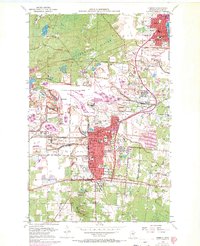
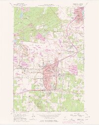
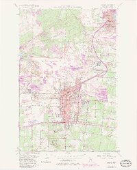
Editions of this 1957 Hibbing Map
5 editions found
Other maps of this area

1951 · Hibbing
USGS Topo · 1:24,000

1951 · Buhl
USGS Topo · 1:24,000

1952 · Keewatin
USGS Topo · 1:24,000

1952 · Riley
USGS Topo · 1:24,000

1952 · Silica
USGS Topo · 1:24,000

1952 · Little Swan
USGS Topo · 1:24,000

1954 · Hibbing
USGS Topo · 1:250,000

1955 · Dewey Lake SE
USGS Topo · 1:24,000

1955 · Dewey Lake
USGS Topo · 1:24,000

1957 · Hibbing
USGS Topo · 1:250,000