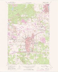
1957 Map of Hibbing
USGS Topo · Published 1977About this map
Mining operations dominate the landscape between Hibbing and Chisholm in this mid-century survey of Minnesota’s Iron Range. Enormous excavations like the Mahoning-Hull-Rust Mine and the Susquehanna Mine surround the industrial settlements of Kitzville, Brooklyn, and Scranton. The geography is defined by the Laurentian Divide, which runs across the northern portion of the sheet near the Pillsbury Mine.
Find a feature on this map
63 named features on this map. Tap any name to fly to it.
Don’t see what you’re looking for? This feature index may not catch every label — zoom into the map to look around manually.
Map Details
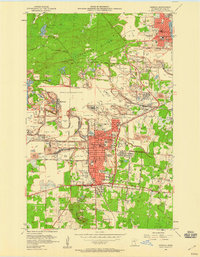
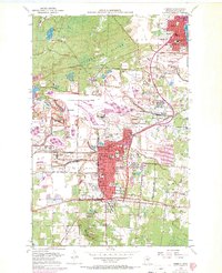
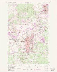
Editions of this 1957 Hibbing Map
5 editions found

Other maps of this area

1951 · Hibbing
USGS Topo · 1:24,000

1951 · Buhl
USGS Topo · 1:24,000

1952 · Keewatin
USGS Topo · 1:24,000

1952 · Riley
USGS Topo · 1:24,000

1952 · Silica
USGS Topo · 1:24,000

1952 · Little Swan
USGS Topo · 1:24,000

1954 · Hibbing
USGS Topo · 1:250,000

1955 · Dewey Lake SE
USGS Topo · 1:24,000

1955 · Dewey Lake
USGS Topo · 1:24,000

1957 · Hibbing
USGS Topo · 1:250,000