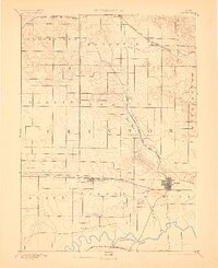
1891 Map of Dewitt
USGS Topo · Published 1906About this map
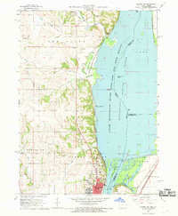
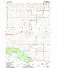
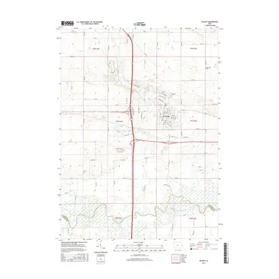
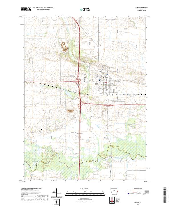
Dewitt serves as the primary rail hub in this late nineteenth-century portrait of Clinton County, Iowa. The landscape is defined by the convergence of major lines including the Chicago Milwaukee and St Paul Railroad and the Chicago and North Western Railroad, which dictated the growth of early settlements like Grand Mound and Calamus. In the south, the Wapsipinicon River meanders across the border, shadowed by the Burlington Cedar Rapids and Northern Railroad near the small station of Noel.
Find a feature on this map
25 named features on this map. Tap any name to fly to it.
Don’t see what you’re looking for? This feature index may not catch every label — zoom into the map to look around manually.
Map Details
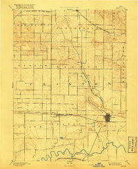
Editions of this 1891 Dewitt Map
3 editions found

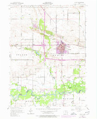
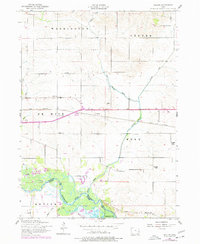
Historical Maps of DeWitt Through Time
32 maps found
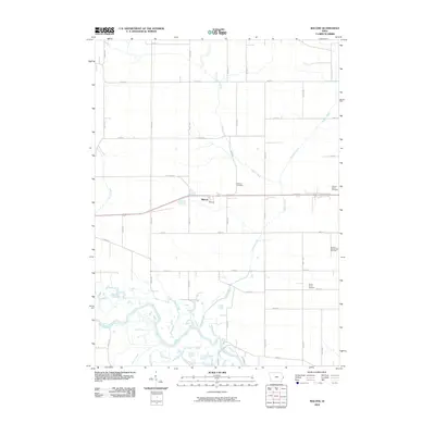
1953 De Witt
Clinton County, IA
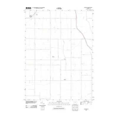
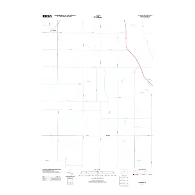
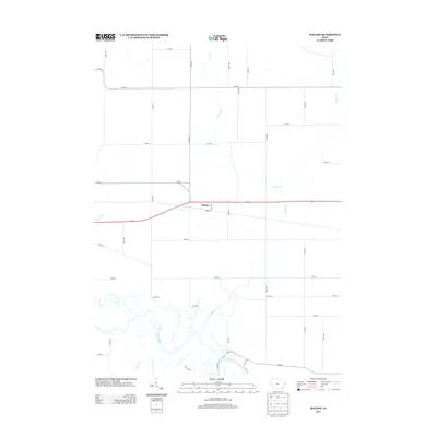
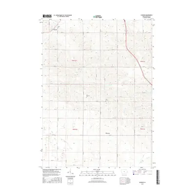
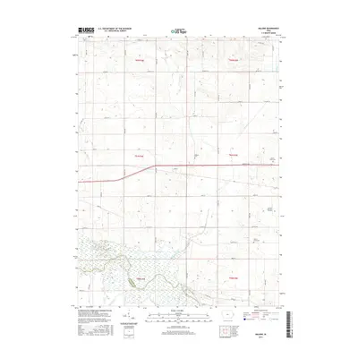
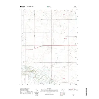
1953 Malone
Clinton County, IA
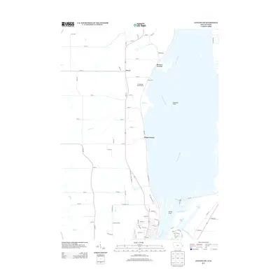
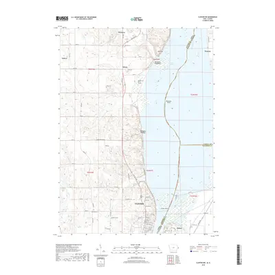
1967 Clinton NW
Clinton County, IA
1980 Delmar South
Clinton County, IA
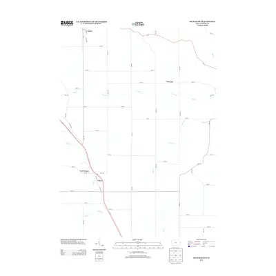
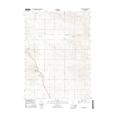
1980 Elwood
Clinton County, IA
1991 De Witt
Clinton County, IA
1991 Malone
Clinton County, IA
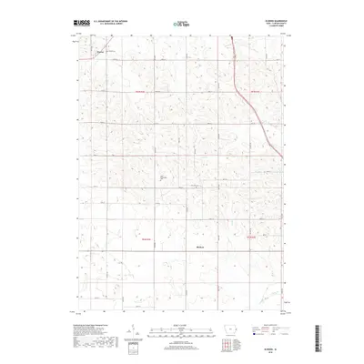
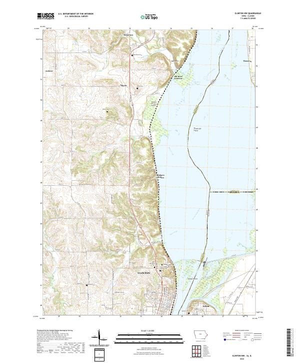
2010 Clinton NW
Clinton County, IA
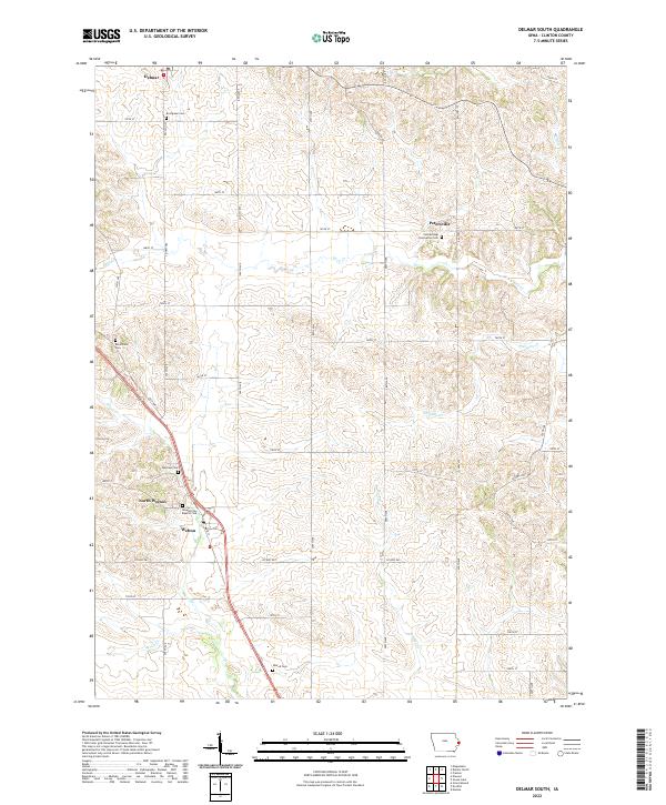
2010 Delmar South
Clinton County, IA
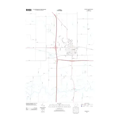
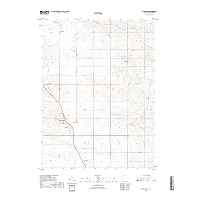
2010 De Witt
Clinton County, IA
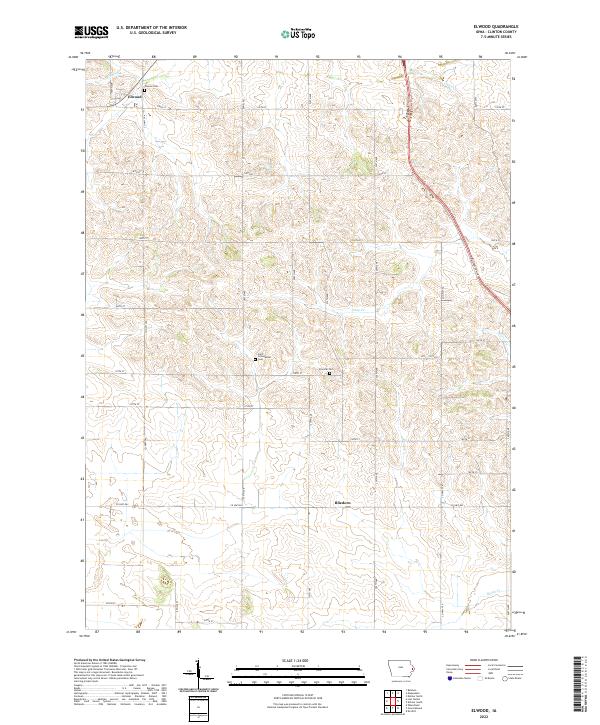
2010 Elwood
Clinton County, IA
2010 Malone
Clinton County, IA
2013 Clinton NW
Clinton County, IA
2013 Delmar South
Clinton County, IA
2013 De Witt
Clinton County, IA
2013 Elwood
Clinton County, IA
2013 Malone
Clinton County, IA

2015 Clinton NW
Clinton County, IA
2015 Delmar South
Clinton County, IA
2015 De Witt
Clinton County, IA
2015 Elwood
Clinton County, IA
2015 Malone
Clinton County, IA
2018 Clinton NW
Clinton County, IA
2018 Delmar South
Clinton County, IA
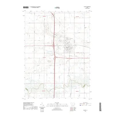
2018 De Witt
Clinton County, IA
2018 Elwood
Clinton County, IA
2018 Malone
Clinton County, IA
2022 Clinton NW
Clinton County, IA
2022 Delmar South
Clinton County, IA
2022 De Witt
Clinton County, IA
2022 Elwood
Clinton County, IA
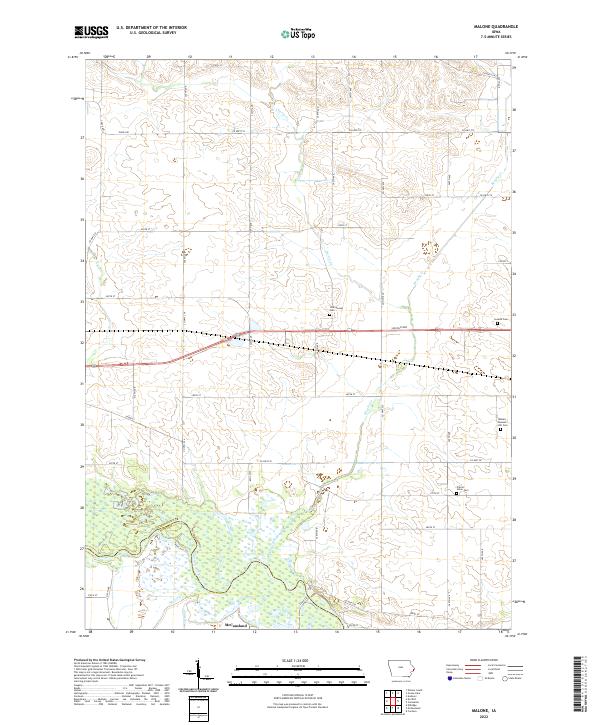
2022 Malone
Clinton County, IA