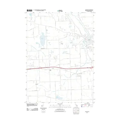
2011 Map of Dexter
USGS Topo · Published 2011About this map
The confluence of the Huron River and Mill Creek anchors this Washtenaw County landscape, where the village of Dexter serves as the primary hub of activity. The surrounding terrain is defined by a dense network of country roads and glacial water bodies like Fourmile Lake and Nordman Lake, reflecting a transition from historical agricultural roots to modern residential expansion. Genealogical interest is concentrated in the scattered burial grounds that mark early pioneer settlements, including Saint Joseph Cemetery in town and the rural Parker Cemetery to the south. Further west, the map details smaller communities such as Lima Center and Jerusalem, established along established transit corridors. The prominent elevation of Prospect Hill stands as a local landmark amidst the wetlands and creeks that feed the Huron River valley, illustrating the persistent influence of the area's hydrology on its development.
Find a feature on this map
84 named features on this map. Tap any name to fly to it.
Don’t see what you’re looking for? This feature index may not catch every label — zoom into the map to look around manually.
Map Details
Editions of this 2011 Dexter Map
This is the sole edition of this map. No revisions or reprints were ever made.
Other maps of this area

1902 · Dexter
USGS Topo · 1:62,500

1904 · Ann Arbor
USGS Topo · 1:125,000

1906 · Dexter
USGS Topo · 1:62,500

1906 · Saline
USGS Topo · 1:62,500

1908 · Ann Arbor
USGS Topo · 1:125,000

1919 · Stockbridge
USGS Topo · 1:62,500

1922 · Stockbridge
USGS Topo · 1:62,500

1942 · Stockbridge
USGS Topo · 1:62,500

1948 · Manchester
USGS Topo · 1:62,500

1949 · Manchester
USGS Topo · 1:62,500