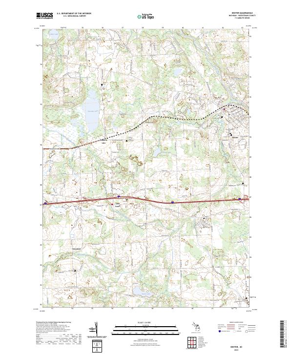
2023 Map of Dexter
USGS Topo · Published 2023About this map
Dexter serves as the focal point of this survey, situated at the confluence where Mill Creek meets the Huron River. The village layout is detailed with its historic street grid, including Broad St, Central St, and Ann Arbor St, alongside several religious and memorial sites such as Saint Andrews and Forest Lawn Cem. West of the village, the landscape transitions into a mosaic of wetlands and small lakes, most notably Fourmile Lake, which is surrounded by the small community of the same name.
Find a feature on this map
134 named features on this map. Tap any name to fly to it.
Don’t see what you’re looking for? This feature index may not catch every label — zoom into the map to look around manually.
Map Details
Editions of this 2023 Dexter Map
This is the sole edition of this map. No revisions or reprints were ever made.
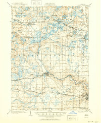
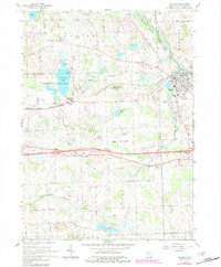
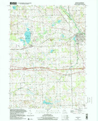
Historical Maps of Webster Township Through Time
5 maps found