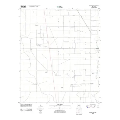
2010 Map of Dexter West
USGS Topo · Published 2010About this map
The town of Dexter serves as a focal point for this eastern New Mexico landscape, where agricultural infrastructure and ranching operations dominate the arid terrain. The Hagerman Canal defines the eastern edge of the survey, providing the essential water transport that sustains local industry, including the Bogles Cotton Gin. Moving west from the settlement, the map reveals a pattern of rural land use marked by significant family-named operations such as Lowe Ranch, Williams Ranch, and the Kerr Brothers South Ranch.
Find a feature on this map
46 named features on this map. Tap any name to fly to it.
Don’t see what you’re looking for? This feature index may not catch every label — zoom into the map to look around manually.
Map Details
Editions of this 2010 Dexter West Map
This is the sole edition of this map. No revisions or reprints were ever made.
Other maps of this area

1949 · Peters Lake
USGS Topo · 1:24,000

1949 · Roswell South
USGS Topo · 1:24,000

1950 · Dexter West
USGS Topo · 1:24,000

1950 · Bottomless Lakes
USGS Topo · 1:24,000

1950 · South Spring
USGS Topo · 1:24,000

1950 · Dexter East
USGS Topo · 1:24,000

1951 · Hagerman
USGS Topo · 1:24,000

1952 · Hagerman SW
USGS Topo · 1:24,000

1955 · Hackberry Ranch
USGS Topo · 1:24,000

1955 · Roswell
USGS Topo · 1:250,000