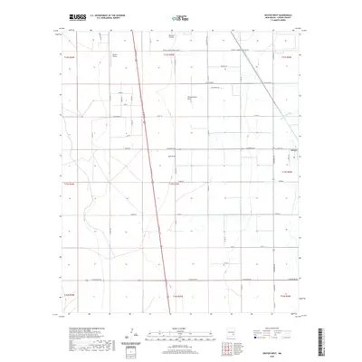
2020 Map of Dexter West
USGS Topo · Published 2020About this map
Hagerman Canal defines the eastern agricultural edge of this New Mexico landscape, channeling vital water through the Pecos River valley. The terrain is characterized by a grid of rural roads and drainage features such as Thirteenmile Draw and Zubi Draw, which underscore the region's reliance on managed water systems. Aviation is a visible component of the local infrastructure, with both Benedict Airpark and Jenkins Airport serving the area west of the canal.
Find a feature on this map
51 named features on this map. Tap any name to fly to it.
Don’t see what you’re looking for? This feature index may not catch every label — zoom into the map to look around manually.
Map Details
Editions of this 2020 Dexter West Map
This is the sole edition of this map. No revisions or reprints were ever made.
Other maps of this area

1949 · Peters Lake
USGS Topo · 1:24,000

1949 · Roswell South
USGS Topo · 1:24,000

1950 · Dexter West
USGS Topo · 1:24,000

1950 · Bottomless Lakes
USGS Topo · 1:24,000

1950 · South Spring
USGS Topo · 1:24,000

1950 · Dexter East
USGS Topo · 1:24,000

1951 · Hagerman
USGS Topo · 1:24,000

1952 · Hagerman SW
USGS Topo · 1:24,000

1955 · Hackberry Ranch
USGS Topo · 1:24,000

1955 · Roswell
USGS Topo · 1:250,000