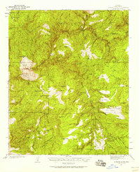
1937 Map of Diamond Butte
USGS Topo · Published 1958About this map
Tonto National Forest defines the character of this mid-century topographic survey, where isolated homesteads and working ranches are scattered across a complex network of canyons and high mesas. The landscape is anchored by Tonto Creek, which carves through the terrain near the geographic landmark of Diamond Butte. Notable human markers of the era include the Vaughn Ranch and Lazear Ranch in the northwest, alongside remote dwellings such as the Old Rock House and Fred Pranty Cabin.
Find a feature on this map
55 named features on this map. Tap any name to fly to it.
Don’t see what you’re looking for? This feature index may not catch every label — zoom into the map to look around manually.
Map Details
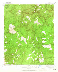
Editions of this 1937 Diamond Butte Map
3 editions found

Other maps of this area

1886 · Holbrook
USGS Topo · 1:250,000

1887 · Verde
USGS Topo · 1:250,000

1892 · Verde
USGS Topo · 1:250,000

1893 · Holbrook
USGS Topo · 1:250,000

1907 · Roosevelt
USGS Topo · 1:125,000

1909 · Four Peaks
USGS Topo · 1:125,000

1912 · Roosevelt
USGS Topo · 1:125,000

1922 · Chrysotile
USGS Topo · 1:125,000

1934 · Pine
USGS Topo · 1:62,500

1934 · Promontory Butte
USGS Topo · 1:62,500