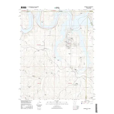
2017 Map of Diamond City
USGS Topo · Published 2017About this map
Bull Shoals Lake dominates the northern reaches of this landscape, its complex shoreline carving deep inlets like Deer Cove and Coffman Cove. The terrain is defined by a dense network of hollows and bends, where the White River’s influence remains visible in the winding geography of Grays Bend and Hog Thief Bend. Settled communities like Diamond City and Lead Hill serve as local hubs, connected by winding roads such as Old Hwy 14 and Persimmon Point Rd.
Find a feature on this map
124 named features on this map. Tap any name to fly to it.
Don’t see what you’re looking for? This feature index may not catch every label — zoom into the map to look around manually.
Map Details
Editions of this 2017 Diamond City Map
This is the sole edition of this map. No revisions or reprints were ever made.
Other maps of this area

1893 · Yellville
USGS Topo · 1:125,000

1903 · Yellville
USGS Topo · 1:125,000

1904 · Harrison
USGS Topo · 1:125,000

1905 · Harrison
USGS Topo · 1:125,000

1905 · Yellville
USGS Topo · 1:125,000

1907 · Forsyth
USGS Topo · 1:125,000

1929 · Yellville
USGS Topo · 1:125,000

1943 · Protem
USGS Topo · 1:62,500

1945 · Harrison
USGS Topo · 1:250,000

1949 · Harrison
USGS Topo · 1:250,000