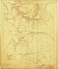
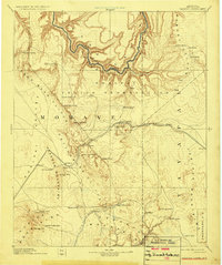
1892 Map of Diamond Creek
USGS Topo · Published 1902About this map
The Colorado River winds through the northern reaches of this territory, carving its path between the Aubrey Cliffs and the Grand Wash Cliffs. This 1892 reconnaissance survey documents a landscape defined by its strategic transit points and water sources, from the Atlantic and Pacific Railroad corridor to isolated outposts like Camp Willow Grove and Fort Rock. The transition from the high plateaus to the Grand Wash Valley is marked by numerous springs essential for travel, such as Peach Spring and Truxton Spring.
Find a feature on this map
52 named features on this map. Tap any name to fly to it.
Don’t see what you’re looking for? This feature index may not catch every label — zoom into the map to look around manually.
Map Details
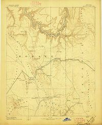
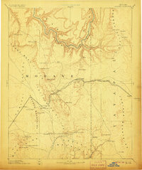
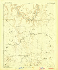
Editions of this 1892 Diamond Creek Map
6 editions found
Other maps of this area

1886 · Diamond Creek
USGS Topo · 1:250,000

1886 · Camp Mohave
USGS Topo · 1:250,000

1886 · Saint Thomas
USGS Topo · 1:250,000

1886 · Mt. Trumbull
USGS Topo · 1:250,000

1886 · Chino
USGS Topo · 1:250,000

1886 · Kaibab
USGS Topo · 1:250,000

1887 · Prescott
USGS Topo · 1:250,000

1891 · Chino
USGS Topo · 1:250,000

1892 · Diamond Creek
USGS Topo · 1:250,000

1892 · Mt. Trumbull
USGS Topo · 1:250,000