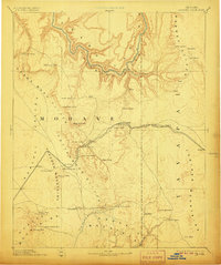
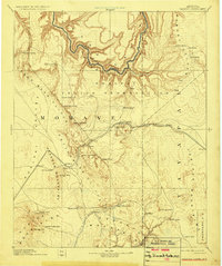
1892 Map of Diamond Creek
USGS Topo · Published 1906About this map
The Atlantic and Pacific Railroad cuts a critical path through this high desert territory, linking remote outposts and fueling the growth of late 19th-century Mohave. This era of western expansion is defined by the logistics of water and transport, with the rail line following the contours of Yampai Canyon and passing through critical stops like Peach Spring, Truxton, and Hackberry. To the south, Cottonwood Station and Camp Willow Grove mark significant waypoints in a landscape of massive escarpments including the Cottonwood Cliffs and Grand Wash Cliffs.
Find a feature on this map
53 named features on this map. Tap any name to fly to it.
Don’t see what you’re looking for? This feature index may not catch every label — zoom into the map to look around manually.
Map Details
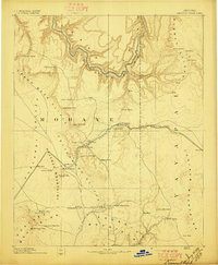
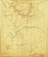
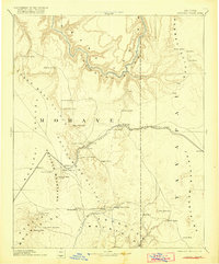
Editions of this 1892 Diamond Creek Map
6 editions found
Other maps of this area

1886 · Diamond Creek
USGS Topo · 1:250,000

1886 · Camp Mohave
USGS Topo · 1:250,000

1886 · Saint Thomas
USGS Topo · 1:250,000

1886 · Mt. Trumbull
USGS Topo · 1:250,000

1886 · Chino
USGS Topo · 1:250,000

1886 · Kaibab
USGS Topo · 1:250,000

1887 · Prescott
USGS Topo · 1:250,000

1891 · Chino
USGS Topo · 1:250,000

1892 · Diamond Creek
USGS Topo · 1:250,000

1892 · Mt. Trumbull
USGS Topo · 1:250,000