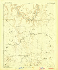
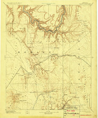
1892 Map of Diamond Creek
USGS Topo · Published 1918About this map
Peach Spring serves as a vital hub along the Atlantic and Pacific Railroad in this reconnaissance survey of the high desert and canyon lands. The landscape is defined by massive geological breaks, with the Colorado River carving through the north and the Grand Wash Cliffs marking the transition into the valley floor. The map documents the early infrastructure of Mohave county, highlighting the shift from older outposts like Old Hackberry and Camp Willow Grove to newer rail-aligned settlements such as Truxton and Yampai.
Find a feature on this map
50 named features on this map. Tap any name to fly to it.
Don’t see what you’re looking for? This feature index may not catch every label — zoom into the map to look around manually.
Map Details
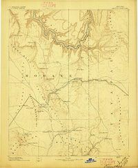
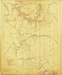
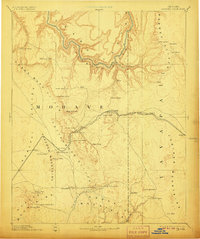
Editions of this 1892 Diamond Creek Map
6 editions found
Other maps of this area

1886 · Diamond Creek
USGS Topo · 1:250,000

1886 · Camp Mohave
USGS Topo · 1:250,000

1886 · Saint Thomas
USGS Topo · 1:250,000

1886 · Mt. Trumbull
USGS Topo · 1:250,000

1886 · Chino
USGS Topo · 1:250,000

1886 · Kaibab
USGS Topo · 1:250,000

1887 · Prescott
USGS Topo · 1:250,000

1891 · Chino
USGS Topo · 1:250,000

1892 · Diamond Creek
USGS Topo · 1:250,000

1892 · Mt. Trumbull
USGS Topo · 1:250,000