
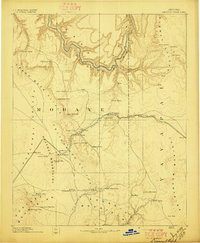
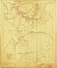
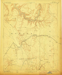
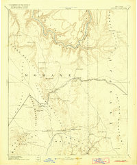
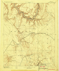
1892 Map of Diamond Creek
USGS Topo · Published 1892About this map
The Atlantic and Pacific Railroad cuts a prominent path through this 1892 frontier landscape, serving as the primary artery for travel and trade across the high plateaus and deep canyons of northern Mohave. This early survey highlights a critical network of springs and tanks essential for survival in the arid environment, connecting outposts like Peach Spring and Hackberry with more remote locales like Old Hackberry.
Find a feature on this map
52 named features on this map. Tap any name to fly to it.
Don’t see what you’re looking for? This feature index may not catch every label — zoom into the map to look around manually.
Map Details
Editions of this 1892 Diamond Creek Map
6 editions found
Other maps of this area

1886 · Diamond Creek
USGS Topo · 1:250,000

1886 · Camp Mohave
USGS Topo · 1:250,000

1886 · Saint Thomas
USGS Topo · 1:250,000

1886 · Mt. Trumbull
USGS Topo · 1:250,000

1886 · Chino
USGS Topo · 1:250,000

1886 · Kaibab
USGS Topo · 1:250,000

1887 · Prescott
USGS Topo · 1:250,000

1891 · Chino
USGS Topo · 1:250,000

1892 · Mt. Trumbull
USGS Topo · 1:250,000

1892 · Camp Mohave
USGS Topo · 1:250,000