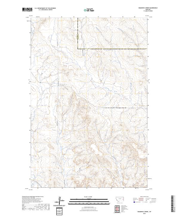
2024 Map of Diamond G Creek
USGS Topo · Published 2024About this map
Diamond G Creek and its many seasonal tributaries define this section of the Montana high plains, where the border of Prairie Co and Dawson Co runs through the heart of the landscape. The drainage network is complex, characterized by erosion-carved features like McQuoid Coulee and numerous named watercourses including Cottonwood Creek, Brackett Creek, and Dickoff Creek. These creek systems are vital markers for understanding the historical movement and land use in this semi-arid region.
Find a feature on this map
15 named features on this map. Tap any name to fly to it.
Don’t see what you’re looking for? This feature index may not catch every label — zoom into the map to look around manually.
Map Details
Editions of this 2024 Diamond G Creek Map
This is the sole edition of this map. No revisions or reprints were ever made.
Other maps of this area

1953 · Miles City
USGS Topo · 1:250,000

1954 · Glendive
USGS Topo · 1:250,000

1957 · Miles City
USGS Topo · 1:250,000

1957 · Glendive
USGS Topo · 1:250,000

1958 · Miles City
USGS Topo · 1:250,000

1958 · Glendive
USGS Topo · 1:250,000

1972 · Hendrickson Coulee
USGS Topo · 1:24,000

1972 · Calypso
USGS Topo · 1:24,000

1972 · Papps Reservoir
USGS Topo · 1:24,000

1972 · Diamond G Creek
USGS Topo · 1:24,000