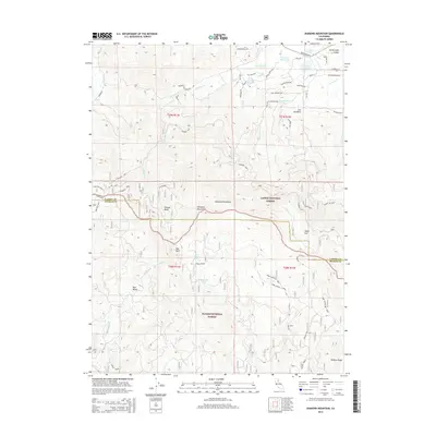
2015 Map of Diamond Mountain
USGS Topo · Published 2015About this map
Cheney Cr flows through this corner of the California landscape, marking a terrain defined by the transition between the Sierra Nevada and the Great Basin. This 2015 update, compiled by the U.S. Geological Survey, utilizes imagery from the National Agriculture Imagery Program and updated Forest Service data to delineate the intricate drainage patterns and elevations near the Lassen and Plumas county line. The map serves as a modern record of the local hydrography and topography, essential for understanding the seasonal water flow and watershed management in this specific part of the northern interior.
Find a feature on this map
1 named feature on this map. Tap any name to fly to it.
Don’t see what you’re looking for? This feature index may not catch every label — zoom into the map to look around manually.
Map Details
Editions of this 2015 Diamond Mountain Map
This is the sole edition of this map. No revisions or reprints were ever made.
Other maps of this area

1886 · Honey Lake
USGS Topo · 1:250,000

1891 · Honey Lake
USGS Topo · 1:250,000

1893 · Honey Lake
USGS Topo · 1:250,000

1950 · Kettle Rock
USGS Topo · 1:62,500

1950 · Greenville
USGS Topo · 1:62,500

1954 · Susanville
USGS Topo · 1:62,500

1955 · Westwood
USGS Topo · 1:62,500

1955 · Westwood
USGS Topo · 1:250,000

1958 · Westwood
USGS Topo · 1:250,000

1959 · Westwood
USGS Topo · 1:250,000