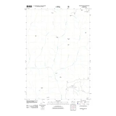
2011 Map of Diamond Peak
USGS Topo · Published 2011About this map
Diamond Peak and Mount Misery tower over this corner of Southeast Washington, defining a landscape of high ridges and deep drainages. The 2011 survey reveals a territory shaped by remote cattle ranching and seasonal camps, with established holdings like the F Kessler Ranch, C H Neal Ranch, and Cecil Bott Ranch concentrated along the southern flats near Kessler Mill Rd. Higher elevations are marked by utilitarian outposts such as Sheephead Corral and Kelly Camp, positioned near the headwaters of the West Fork First Creek. The topography is a complex network of seasonal water sources including Squaw Spring and Pistol Spring, which sustain life between prominent landmarks like Bald Butte and the Chaparral Basin. This map is particularly valuable for documenting the specific family ranch locations that have persisted in this high-country environment.
Find a feature on this map
31 named features on this map. Tap any name to fly to it.
Don’t see what you’re looking for? This feature index may not catch every label — zoom into the map to look around manually.
Map Details
Editions of this 2011 Diamond Peak Map
This is the sole edition of this map. No revisions or reprints were ever made.
Other maps of this area

1937 · Pomeroy
USGS Topo · 1:96,000

1942 · Pomeroy
USGS Topo · 1:125,000

1943 · Saddle Butte
USGS Topo · 1:62,500

1946 · Saddle Butte
USGS Topo · 1:62,500

1955 · Pullman
USGS Topo · 1:250,000

1955 · Grangeville
USGS Topo · 1:250,000

1958 · Pullman
USGS Topo · 1:250,000

1959 · Grangeville
USGS Topo · 1:250,000

1967 · Troy
USGS Topo · 1:24,000

1967 · Eden
USGS Topo · 1:24,000