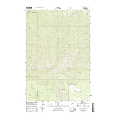
2017 Map of Diamond Peak
USGS Topo · Published 2017About this map
Umatilla National Forest defines the landscape of this high-elevation region where Garfield and Columbia Counties meet. This area is characterized by a sophisticated network of historical paths and ridge-top routes, including the Mt Misery Trail and Smooth Ridge Trail, which follow the natural contours of the land. The presence of Grouse Flat in the southeast corner provides a rare pocket of flatter terrain suitable for habitation amidst a series of deep drainages and prominent peaks like Diamond Peak and Bald Butte. Numerous water sources, such as Pistol Spring and Sheephead Spring, are critical landmarks for navigation and survival in these highlands, marking the origins of drainages like Melton Creek and Crooked Creek. The map documents a wilderness still largely defined by its topography and the foot-and-horse trails that have connected these ridges for generations.
Find a feature on this map
55 named features on this map. Tap any name to fly to it.
Don’t see what you’re looking for? This feature index may not catch every label — zoom into the map to look around manually.
Map Details
Editions of this 2017 Diamond Peak Map
This is the sole edition of this map. No revisions or reprints were ever made.
Other maps of this area

1937 · Pomeroy
USGS Topo · 1:96,000

1942 · Pomeroy
USGS Topo · 1:125,000

1943 · Saddle Butte
USGS Topo · 1:62,500

1946 · Saddle Butte
USGS Topo · 1:62,500

1955 · Pullman
USGS Topo · 1:250,000

1955 · Grangeville
USGS Topo · 1:250,000

1958 · Pullman
USGS Topo · 1:250,000

1959 · Grangeville
USGS Topo · 1:250,000

1967 · Troy
USGS Topo · 1:24,000

1967 · Eden
USGS Topo · 1:24,000