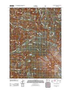
2011 Map of Diamond Peak
USGS Topo · Published 2011About this map
Diamond Peak and Mount Yoran anchor this high-elevation landscape within the Cascade Range, characterized by a complex network of glacial lakes and mountain drainages. The 2011 survey documents a wilderness accessible primarily via U.S. Forest Service roads, including Usfs RD 2149 and Usfs RD 5884, which wind through the timber towards significant water features like Salt Creek Falls and the curiously named Too Much Bear Lake. Small outposts such as Binghams Shelter and Diamond Camp provide evidence of human activity in an area otherwise defined by physical landmarks like the Devils Garden and Wolf Prairie. The map's hydrography is particularly dense, tracing the origins of Swift Creek, Bear Creek, and Pinto Creek as they descend from the volcanic summits toward the Willamette Valley.
Find a feature on this map
44 named features on this map. Tap any name to fly to it.
Don’t see what you’re looking for? This feature index may not catch every label — zoom into the map to look around manually.
Map Details
Editions of this 2011 Diamond Peak Map
This is the sole edition of this map. No revisions or reprints were ever made.
Other maps of this area

1917 · Diamond Lake
USGS Topo · 1:125,000

1925 · Waldo Lake
USGS Topo · 1:125,000

1956 · Toketee Falls
USGS Topo · 1:62,500

1956 · Waldo Lake
USGS Topo · 1:62,500

1956 · Summit Lake
USGS Topo · 1:62,500

1956 · Oakridge
USGS Topo · 1:62,500

1958 · Roseburg
USGS Topo · 1:250,000

1959 · Roseburg
USGS Topo · 1:250,000

1978 · Diamond Lake
USGS Topo · 1:100,000

1983 · Oakridge
USGS Topo · 1:100,000