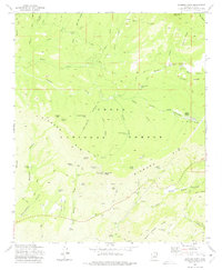
1973 Map of Diamond Point
USGS Topo · Published 1975About this map
Tonto Village and the high-elevation ranchlands of Gila County occupy this mid-1970s topographical record. The landscape is defined by the massive escarpment of the Diamond Rim, which drops sharply away from high points like Myrtle Point and Diamond Point, where a Radio Facility Lookout Tower once stood as a sentry over the Tonto National Forest. The map captures a transition from the plateau-like Roberts Mesa in the north down into the deep drainages of Hells Gate Canyon and Mayfield Canyon.
Find a feature on this map
88 named features on this map. Tap any name to fly to it.
Don’t see what you’re looking for? This feature index may not catch every label — zoom into the map to look around manually.
Map Details
Editions of this 1973 Diamond Point Map
2 editions found
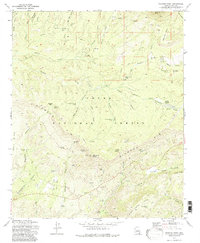
Other maps of this area

1887 · Verde
USGS Topo · 1:250,000

1892 · Verde
USGS Topo · 1:250,000

1934 · Pine
USGS Topo · 1:62,500

1934 · Promontory Butte
USGS Topo · 1:62,500

1936 · Payson
USGS Topo · 1:48,000

1937 · Diamond Butte
USGS Topo · 1:48,000

1939 · Promontory Butte
USGS Topo · 1:62,500

1940 · Pine
USGS Topo · 1:62,500

1942 · Payson
USGS Topo · 1:62,500

1943 · Diamond Butte
USGS Topo · 1:62,500
Featured Places
- Star Valley, AZ
- Diamond Point Summer Homes, AZ
- Ellison Creek Summer Homes, AZ
- Little Green Valley, AZ
- Ellison Creek Estates, AZ