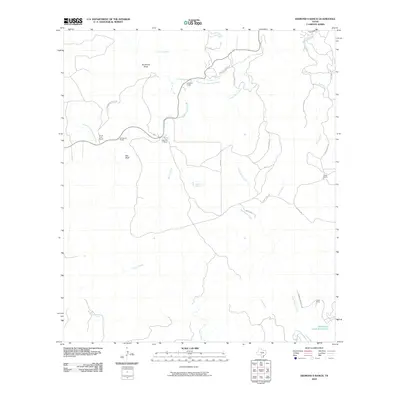
2010 Map of Diamond S Ranch
USGS Topo · Published 2010About this map
The South Fork Guadalupe River carves through this portion of the Texas Hill Country, anchoring a landscape defined by expansive ranching estates and rugged limestone geography. Established holdings like the Diamond S Ranch, Whitworth Ranch, and Fisher Ranch mark the division of the land, while Lynhaven Lodge serves as a notable landmark along the river’s winding course. The hydrology of the area is particularly intricate, featuring various water sources such as Lynx Haven Springs and Green Spring, which feed into a network of drainages including Mullen Creek and Frank Baker Creek. Unique topographical features like Bee Bluff and Sycamore Draw illustrate the weathered character of the terrain. To the southeast, the Brewington Creek Ranch Lake provides a significant catchment area, reflecting the importance of water management in this semi-arid ranching environment.
Find a feature on this map
30 named features on this map. Tap any name to fly to it.
Don’t see what you’re looking for? This feature index may not catch every label — zoom into the map to look around manually.
Map Details
Editions of this 2010 Diamond S Ranch Map
This is the sole edition of this map. No revisions or reprints were ever made.
Other maps of this area

1894 · Kerrville
USGS Topo · 1:125,000

1954 · Llano
USGS Topo · 1:250,000

1954 · San Antonio
USGS Topo · 1:250,000

1955 · Llano
USGS Topo · 1:250,000

1956 · Tuff
USGS Topo · 1:62,500

1956 · Llano
USGS Topo · 1:250,000

1957 · San Antonio
USGS Topo · 1:250,000

1964 · Boneyard Draw
USGS Topo · 1:24,000

1964 · Sabinal Canyon
USGS Topo · 1:24,000

1964 · Well Hollow
USGS Topo · 1:24,000