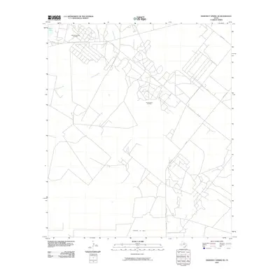
2010 Map of Diamond Y Spring NE
USGS Topo · Published 2010About this map
Jamison Pollard Oil Field and the Pecos Valley Oil Field define the industrial footprint of this West Texas landscape. The map reveals an extensive network of access roads and pads required for resource extraction, concentrated primarily in the northern and central sections of the quadrangle. These man-made features contrast with the natural drainage patterns of Courtney Creek and Leon Creek, which wind through the terrain toward the southeast.
Find a feature on this map
13 named features on this map. Tap any name to fly to it.
Don’t see what you’re looking for? This feature index may not catch every label — zoom into the map to look around manually.
Map Details
Editions of this 2010 Diamond Y Spring NE Map
This is the sole edition of this map. No revisions or reprints were ever made.
Other maps of this area

1954 · Pecos
USGS Topo · 1:250,000

1957 · Pecos
USGS Topo · 1:250,000

1969 · Grandfalls
USGS Topo · 1:24,000
1972 · Buena Vista SW
USGS Topo · 1:24,000
1972 · Buena Vista
USGS Topo · 1:24,000
1974 · Diamond Y Spring NE
USGS Topo · 1:24,000
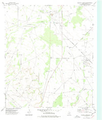
1974 · Diamond Y Spring SE
USGS Topo · 1:24,000
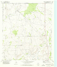
1974 · Diamond Y Spring
USGS Topo · 1:24,000
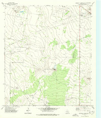
1974 · Diamond Y Spring NW
USGS Topo · 1:24,000
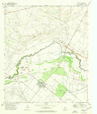
1974 · Imperial
USGS Topo · 1:24,000