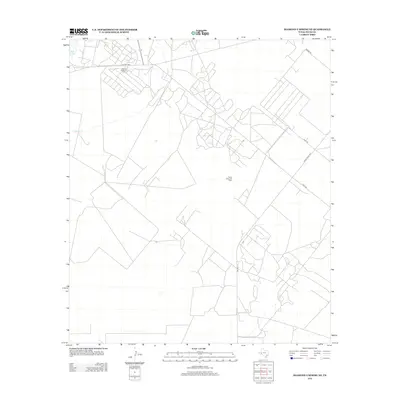
2012 Map of Diamond Y Spring NE
USGS Topo · Published 2012About this map
Jamison Pollard Oil Field and the Pecos Valley Oil Field define the industrial footprint of this West Texas landscape. Located in Pecos County, the area is characterized by a dense network of local access roads supporting petroleum extraction and ranching. Water features are sparse in this arid environment, represented primarily by the seasonal Courtney Cr and Leon Cr, along with the small basin of Blair Lake in the northwestern corner. The infrastructure is dominated by the intersection of Co Hwy 1450 and Ranch Road 1053, which connect the scattered operations within the oil fields. This 2012 survey provides a clear view of the modern road grid and industrial land use patterns essential for researchers of the Permian Basin's recent history and energy development.
Find a feature on this map
11 named features on this map. Tap any name to fly to it.
Don’t see what you’re looking for? This feature index may not catch every label — zoom into the map to look around manually.
Map Details
Editions of this 2012 Diamond Y Spring NE Map
This is the sole edition of this map. No revisions or reprints were ever made.
Other maps of this area

1954 · Pecos
USGS Topo · 1:250,000

1957 · Pecos
USGS Topo · 1:250,000

1969 · Grandfalls
USGS Topo · 1:24,000
1972 · Buena Vista SW
USGS Topo · 1:24,000
1972 · Buena Vista
USGS Topo · 1:24,000
1974 · Diamond Y Spring NE
USGS Topo · 1:24,000
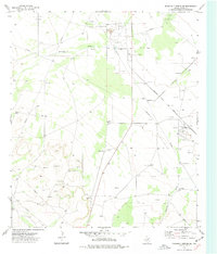
1974 · Diamond Y Spring SE
USGS Topo · 1:24,000
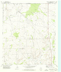
1974 · Diamond Y Spring
USGS Topo · 1:24,000
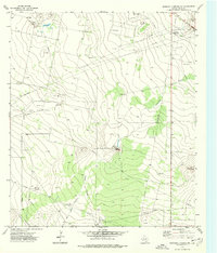
1974 · Diamond Y Spring NW
USGS Topo · 1:24,000
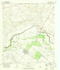
1974 · Imperial
USGS Topo · 1:24,000