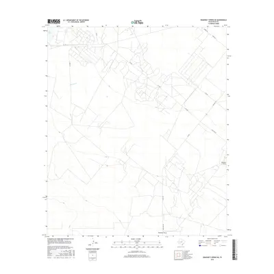
2016 Map of Diamond Y Spring NE
USGS Topo · Published 2016About this map
Diamond Y Draw defines the drainage pattern of this arid Pecos County landscape, where seasonal watercourses like Courtney Cr and Leon Cr cut across the high plains. The terrain is marked by a sparse but essential network of ranching roads, including Barbee Rd, Seven Mile Rd, and Borden Rd, which reflect the vast scales of land ownership in West Texas. In the northern reaches, Blair Lake provides a rare point of surface water in an area otherwise dominated by the dry streambeds of the Trans-Pecos region. The alignment of FM 1450 and FM 1053 suggests the primary corridors for modern transit through this rural stretch, serving the agricultural and energy interests that have long characterized the county's economy. This survey documents the transition between open range and the organized infrastructure of late 20th-century Texas land management.
Find a feature on this map
13 named features on this map. Tap any name to fly to it.
Don’t see what you’re looking for? This feature index may not catch every label — zoom into the map to look around manually.
Map Details
Editions of this 2016 Diamond Y Spring NE Map
This is the sole edition of this map. No revisions or reprints were ever made.
Other maps of this area

1954 · Pecos
USGS Topo · 1:250,000

1957 · Pecos
USGS Topo · 1:250,000

1969 · Grandfalls
USGS Topo · 1:24,000
1972 · Buena Vista SW
USGS Topo · 1:24,000
1972 · Buena Vista
USGS Topo · 1:24,000
1974 · Diamond Y Spring NE
USGS Topo · 1:24,000
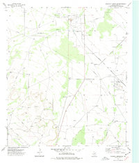
1974 · Diamond Y Spring SE
USGS Topo · 1:24,000
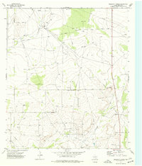
1974 · Diamond Y Spring
USGS Topo · 1:24,000
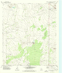
1974 · Diamond Y Spring NW
USGS Topo · 1:24,000
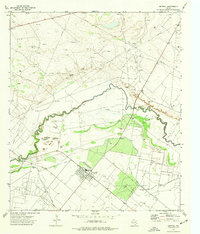
1974 · Imperial
USGS Topo · 1:24,000