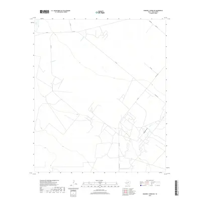
2019 Map of Diamond Y Spring NE
USGS Topo · Published 2019About this map
Diamond Y Draw cuts across the arid West Texas landscape of Pecos County, illustrating a complex network of ephemeral drainages and ranch access roads. The terrain is marked by the presence of Blair Lake in the northwest corner, a rare water feature in this high desert environment. The drainage patterns of Courtney Cr and Leon Cr suggest a landscape shaped by seasonal water flow, where deep draws and creek beds serve as the primary geographical markers.
Find a feature on this map
13 named features on this map. Tap any name to fly to it.
Don’t see what you’re looking for? This feature index may not catch every label — zoom into the map to look around manually.
Map Details
Editions of this 2019 Diamond Y Spring NE Map
This is the sole edition of this map. No revisions or reprints were ever made.
Other maps of this area

1954 · Pecos
USGS Topo · 1:250,000

1957 · Pecos
USGS Topo · 1:250,000

1969 · Grandfalls
USGS Topo · 1:24,000
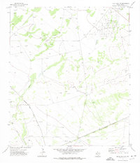
1972 · Buena Vista SW
USGS Topo · 1:24,000
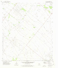
1972 · Buena Vista
USGS Topo · 1:24,000
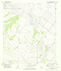
1974 · Diamond Y Spring NE
USGS Topo · 1:24,000
1974 · Diamond Y Spring SE
USGS Topo · 1:24,000
1974 · Diamond Y Spring
USGS Topo · 1:24,000
1974 · Diamond Y Spring NW
USGS Topo · 1:24,000
1974 · Imperial
USGS Topo · 1:24,000