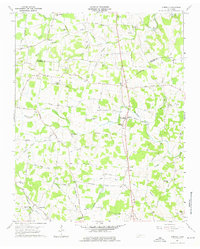
1960 Map of Dibrell
USGS Topo · Published 1961About this map
Dibrell and its surrounding communities in Warren and De Kalb Counties are documented here as they appeared in 1960. The landscape is defined by the headwaters and branches of Sink Creek, Jones Creek, and Charles Creek, which carve through a terrain dotted with small agricultural settlements. Several local landmarks provide significant genealogical value, including family-named sites like Woods Cem, Holders Cem, and Allen Cem. Educational and religious life is well represented by the High Sch at Dibrell and numerous country churches such as Bildad Ch, North Oak Grove Ch, and Mt Zion Ch.
Find a feature on this map
56 named features on this map. Tap any name to fly to it.
Don’t see what you’re looking for? This feature index may not catch every label — zoom into the map to look around manually.
Map Details
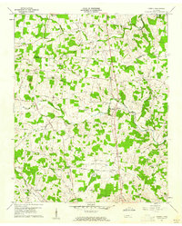
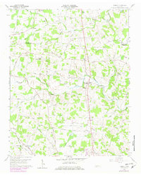
Editions of this 1960 Dibrell Map
3 editions found
Other maps of this area

1893 · Mc Minnville
USGS Topo · 1:125,000

1895 · Mc Minnville
USGS Topo · 1:125,000

1942 · Statesville
USGS Topo · 1:100,000

1943 · Cookeville
USGS Topo · 1:100,000

1943 · Mc Minnville
USGS Topo · 1:100,000

1944 · Cookeville
USGS Topo · 1:100,000

1952 · Centertown
USGS Topo · 1:24,000

1953 · Chattanooga
USGS Topo · 1:250,000

1953 · Centertown
USGS Topo · 1:24,000

1953 · Mc Minnville
USGS Topo · 1:24,000