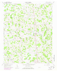
1960 Map of Dibrell
USGS Topo · Published 1979About this map
Dibrell and Bethel anchor this landscape along the border of De Kalb Co and Warren Co during the mid-twentieth century. The area is defined by a dense network of rural communities and family-named landmarks, many connected by unimproved roads like Gath Lucky Road and Foster Road. The terrain is marked by numerous karst features, including several labeled simply as Sink, particularly near the Clear Fork and Sink Creek. Religious and educational life is represented by numerous country institutions, such as Webbs Chapel, Oak Grove Ch, and the High Sch at Dibrell. Smaller settlements like Lucky and Womack are interspersed between geographical landmarks such as Hickory Grove and Bald Knob, while the intricate branching of Dry Br and Blue Springs Branch illustrates the complex local drainage system.
Find a feature on this map
86 named features on this map. Tap any name to fly to it.
Don’t see what you’re looking for? This feature index may not catch every label — zoom into the map to look around manually.
Map Details
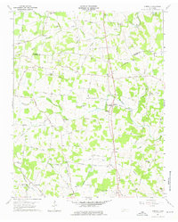
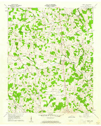
Editions of this 1960 Dibrell Map
3 editions found
Other maps of this area

1893 · Mc Minnville
USGS Topo · 1:125,000

1895 · Mc Minnville
USGS Topo · 1:125,000

1942 · Statesville
USGS Topo · 1:100,000

1943 · Cookeville
USGS Topo · 1:100,000

1943 · Mc Minnville
USGS Topo · 1:100,000

1944 · Cookeville
USGS Topo · 1:100,000

1952 · Centertown
USGS Topo · 1:24,000

1953 · Chattanooga
USGS Topo · 1:250,000

1953 · Centertown
USGS Topo · 1:24,000

1953 · Mc Minnville
USGS Topo · 1:24,000