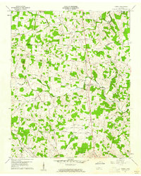
1960 Map of Dibrell
USGS Topo · Published 1976About this map
Dibrell serves as a central hub in this agricultural landscape on the De Kalb Co and Warren Co line. The map reveals a dense network of country roads connecting small settlements like Gath, Lucky, and Womack, each anchored by local landmarks. Education and faith were clearly the pillars of the community, evidenced by the numerous institutions scattered throughout the hills, from the High Sch in Dibrell to Blue Springs Sch and Oats Sch.
Find a feature on this map
59 named features on this map. Tap any name to fly to it.
Don’t see what you’re looking for? This feature index may not catch every label — zoom into the map to look around manually.
Map Details
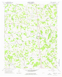
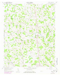
Editions of this 1960 Dibrell Map
3 editions found
Other maps of this area

1893 · Mc Minnville
USGS Topo · 1:125,000

1895 · Mc Minnville
USGS Topo · 1:125,000

1942 · Statesville
USGS Topo · 1:100,000

1943 · Cookeville
USGS Topo · 1:100,000

1943 · Mc Minnville
USGS Topo · 1:100,000

1944 · Cookeville
USGS Topo · 1:100,000

1952 · Centertown
USGS Topo · 1:24,000

1953 · Chattanooga
USGS Topo · 1:250,000

1953 · Centertown
USGS Topo · 1:24,000

1953 · Mc Minnville
USGS Topo · 1:24,000