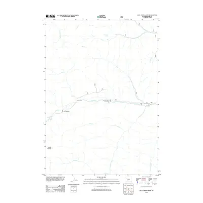
2012 Map of Dick Creek Lakes
USGS Topo · Published 2012About this map
Wood River drainage systems define this high-altitude terrain in Park County, where the waterway serves as the primary axis for travel and recreation. The 2012 survey illustrates a landscape primarily shaped by glacial activity and seasonal runoff, with the river floor hosting established stopping points like The Meadows and the Double D Ranch. This corridor is punctuated by developed recreational sites, including the Brown Mountain Campground and the Wood River Campground, which provide access to the surrounding peaks.
Find a feature on this map
21 named features on this map. Tap any name to fly to it.
Don’t see what you’re looking for? This feature index may not catch every label — zoom into the map to look around manually.
Map Details
Editions of this 2012 Dick Creek Lakes Map
This is the sole edition of this map. No revisions or reprints were ever made.
Other maps of this area

1904 · Kirwin
USGS Topo · 1:125,000

1906 · Kirwin
USGS Topo · 1:125,000

1955 · Cody
USGS Topo · 1:250,000

1955 · Thermopolis
USGS Topo · 1:250,000

1957 · Irish Rock
USGS Topo · 1:62,500

1957 · Sunshine Reservoir
USGS Topo · 1:62,500

1958 · Cody
USGS Topo · 1:250,000

1958 · Thermopolis
USGS Topo · 1:250,000

1962 · Thermopolis
USGS Topo · 1:250,000

1962 · Cody
USGS Topo · 1:250,000