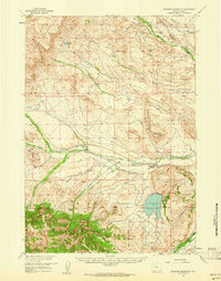
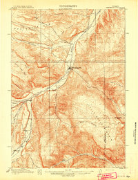
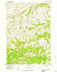
1957 Map of Sunshine Reservoir
USGS Topo · Published 1961About this map
The Shoshone National Forest boundary defines the southwestern corner of this mid-century Wyoming landscape, where the high plains meet the mountain foothills. Water management and petroleum extraction dominate the local economy, centered on the Sunshine Reservoir and a network of irrigation works like the Lower Sunshine Wood River Canal. The map reveals an active energy frontier with the Pitchfork Oil Field, Spring Creek Oil Field, and Four Bear Oil Field all in production.
Find a feature on this map
42 named features on this map. Tap any name to fly to it.
Don’t see what you’re looking for? This feature index may not catch every label — zoom into the map to look around manually.
Map Details
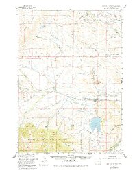
Editions of this 1957 Sunshine Reservoir Map
2 editions found
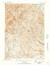
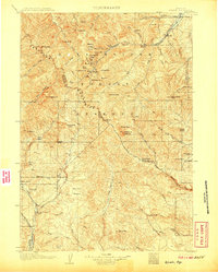
Other maps of this area
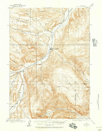
1904 · Kirwin
USGS Topo · 1:125,000
1906 · Kirwin
USGS Topo · 1:125,000
1911 · Meeteetse
USGS Topo · 1:62,500
1911 · Oregon Basin
USGS Topo · 1:62,500
1913 · Oregon Basin
USGS Topo · 1:62,500
1913 · Meeteetse
USGS Topo · 1:62,500

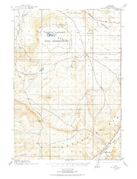
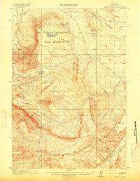
1955 · Cody
USGS Topo · 1:250,000

1955 · Thermopolis
USGS Topo · 1:250,000
1956 · Soapy Dale Peak
USGS Topo · 1:24,000
1957 · Wapiti
USGS Topo · 1:62,500