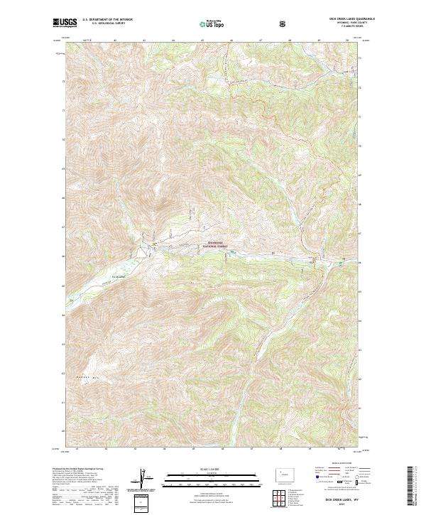
2021 Map of Dick Creek Lakes
USGS Topo · Published 2021About this map
Shoshone National Forest dominates this section of the Absaroka Range, where high-elevation drainages converge to form the headwaters of the Wood River. The landscape is defined by its verticality, rising from the riparian bottomlands of The Meadows toward the prominent summit of Dundee Mtn. The hydrology of the region is intricate, with numerous named tributaries including Beaver Cr, Dundee Cr, and Jojo Cr cutting through the township and range divisions. Human navigation in this wilderness is limited to established paths such as the South Fork Wood River Trl and the Timber Creek / Deer Creek Trail Trl, which follow the natural contours of the river valleys. This 2021 survey illustrates how the primary travel corridors remain tied to the water systems, notably the Middle Fork Wood River, providing a clear record of the backcountry access points into the Dick Cr Lakes area.
Find a feature on this map
28 named features on this map. Tap any name to fly to it.
Don’t see what you’re looking for? This feature index may not catch every label — zoom into the map to look around manually.
Map Details
Editions of this 2021 Dick Creek Lakes Map
This is the sole edition of this map. No revisions or reprints were ever made.
Other maps of this area

1904 · Kirwin
USGS Topo · 1:125,000

1906 · Kirwin
USGS Topo · 1:125,000

1955 · Cody
USGS Topo · 1:250,000

1955 · Thermopolis
USGS Topo · 1:250,000

1957 · Irish Rock
USGS Topo · 1:62,500

1957 · Sunshine Reservoir
USGS Topo · 1:62,500

1958 · Cody
USGS Topo · 1:250,000

1958 · Thermopolis
USGS Topo · 1:250,000

1962 · Thermopolis
USGS Topo · 1:250,000

1962 · Cody
USGS Topo · 1:250,000